Map
The Map lets you visualize stations directly on an interactive map inside the app.
Accessing the Map
On the Home (Main Screen), there is a map button in the top-right corner of the screen. Tapping it takes you straight to the Map.

Symbols
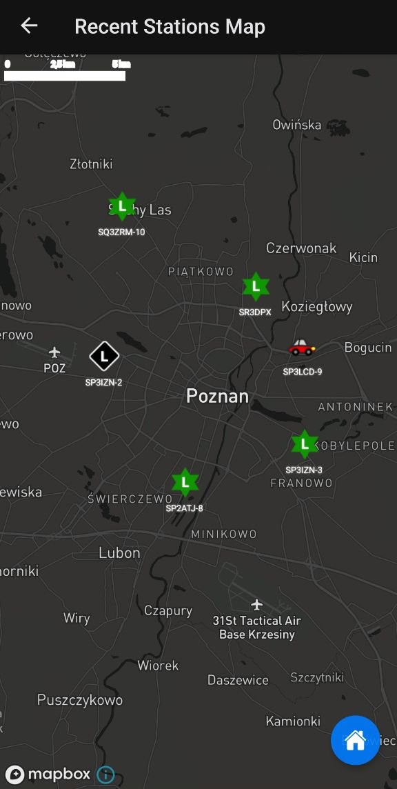
All APRS symbols are fully supported and displayed on the map, so every station shows up with its correct icon.
Symbol Clustering
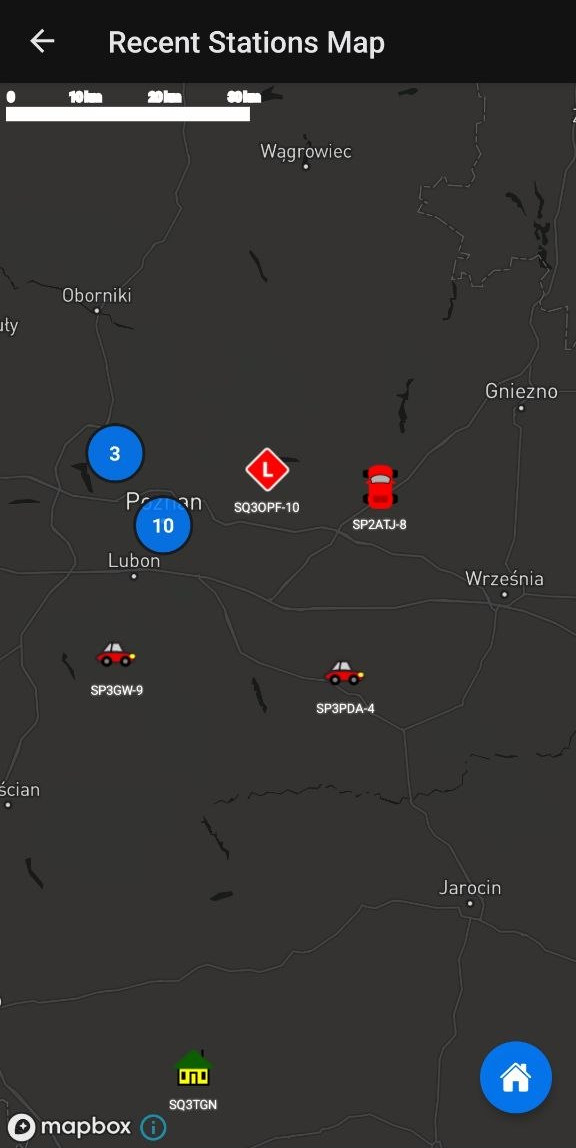
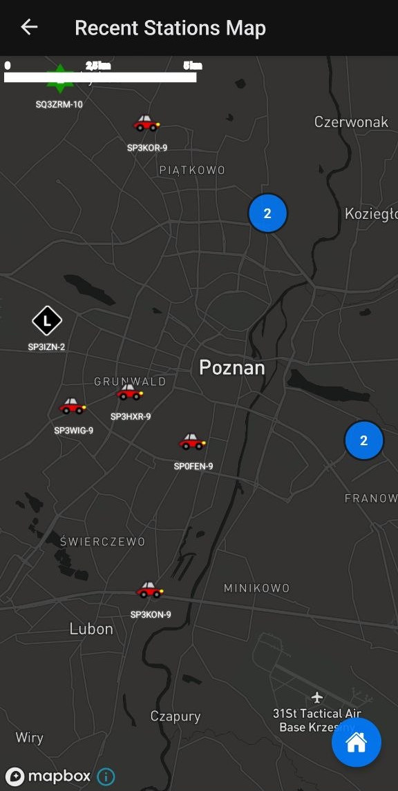
When many stations are located close together, the map groups (clusters) symbols so the view stays readable. As you zoom in, the clusters split apart into individual stations.
Current Limitations
At the moment, the Map does not yet support:
- Station paths / tracks – movement history is not drawn on the map yet.
- Offline maps – map tiles currently require an internet connection.
Planned: Full Offline Support
The goal is for the Map to work fully offline, with no internet required. This matches the core idea of the whole app: to operate offline, without an internet connection.